
Joint International Conference (JIC) Malaysia


Event Date:3rd October
Event Time:8:00 am – 5:00 pm
Event Location: PICCA Convention Center, Butterworth Arena, Penang, Malaysia
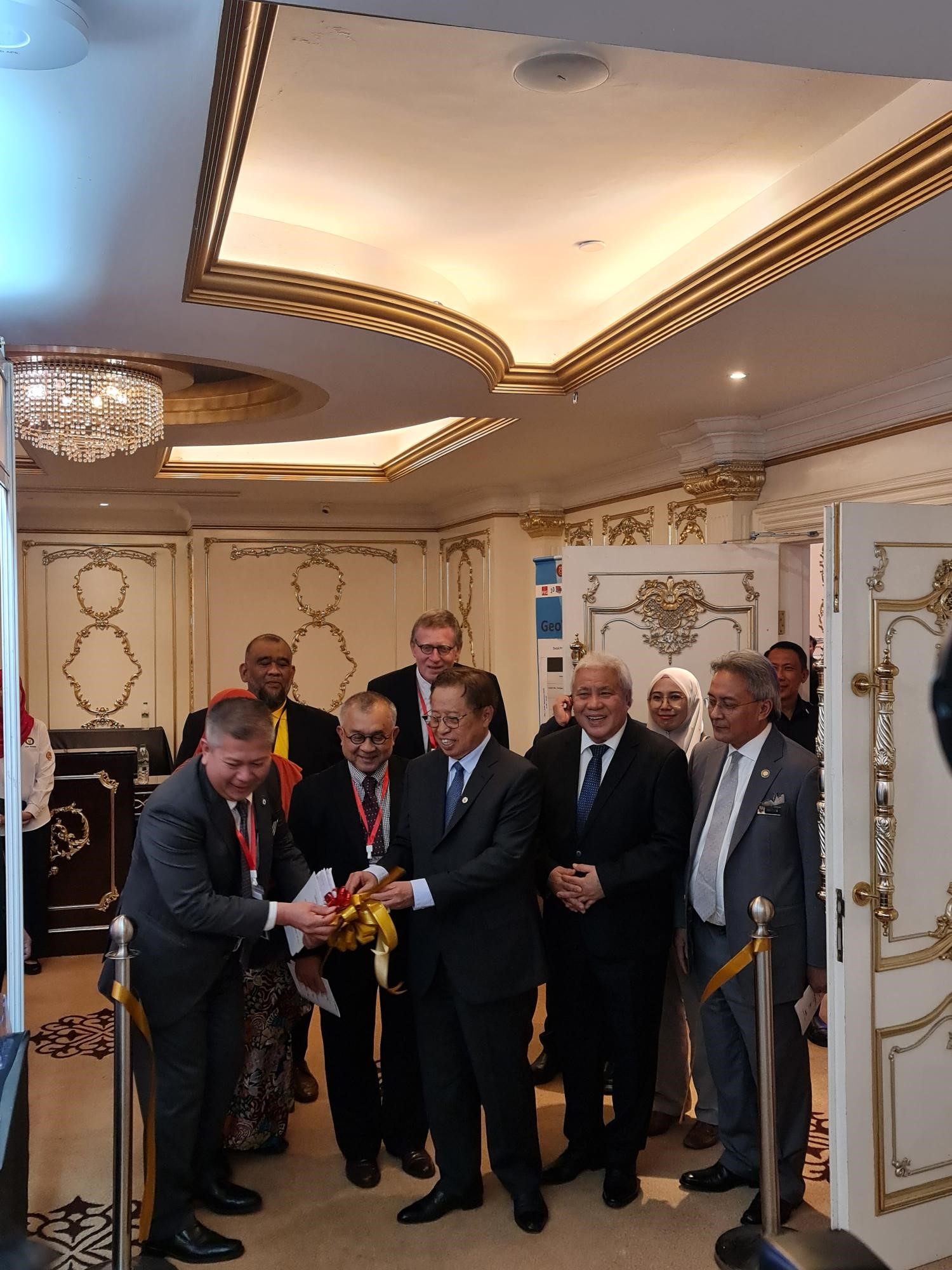
The Joint International Conference on Geospatial Innovation for Sustainable Rural and Urban Development was held from 24th to 26th September 2024 at the Riverside Majestic Hotel, Kuching, Malaysia. This prominent event brought together global experts, industry leaders, and policymakers to explore cutting-edge advancements in geospatial technology and their applications in driving sustainable development for both rural and urban regions.
Event Highlights:
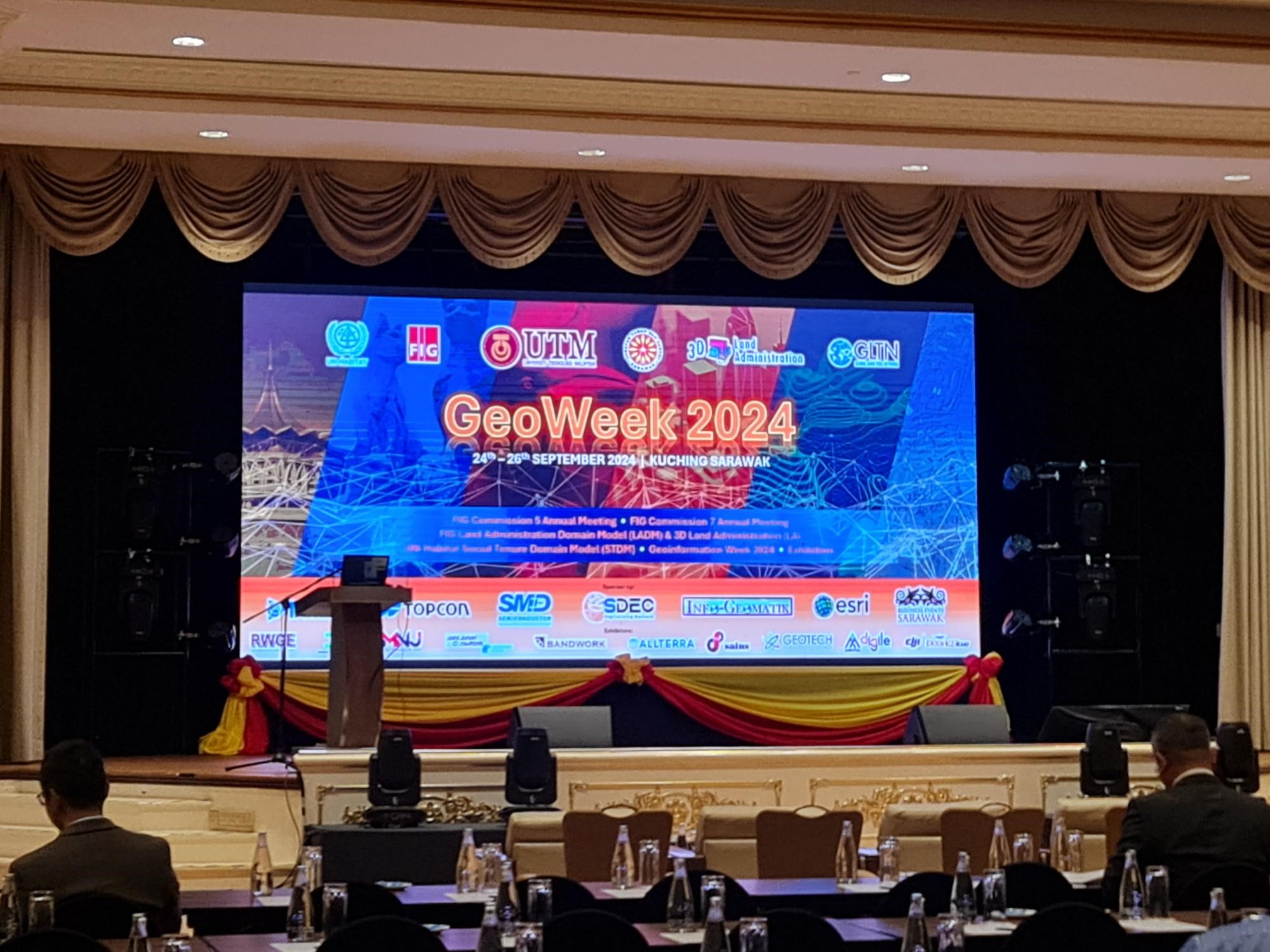
The conference featured the FIG Commission 5 and FIG Commission 7 Annual Conferences, covering key topics such as the Land Administration Domain Model (LADM), 3D Land Administration (LA), and the UN-Habitat Social Tenure Domain Model (STDM). Attendees engaged with sessions on:
- AI and Deep Learning in Geoinformation
- 3D City Modeling and Digital Twins
- Marine Cadastre
- LADM Valuation Information
Digile’s Participation:
As a key participant, Digile showcased its cutting-edge digital solutions tailored for the geospatial sector. A highlight was the Twinsights platform, an innovative digital twin solution that combines geospatial data with real-time analytics. Twinsights empowers organizations to visualize, analyze, and optimize their assets and processes, fostering enhanced decision-making, operational efficiency, and sustainability.
Through 3D modeling and predictive analytics, Twinsights supports industries such as urban planning, environmental management, and infrastructure by providing actionable insights that help future-proof operations. Whether optimizing resource management or driving smart city initiatives, Twinsights plays a pivotal role in enabling businesses to harness the power of geospatial data.
In addition to Twinsights, Digile demonstrated its suite of digital transformation solutions that allow businesses to seamlessly integrate geospatial technologies into their strategies, helping them stay at the forefront of innovation while promoting sustainable growth.
Collaborators and Keynote Speakers:
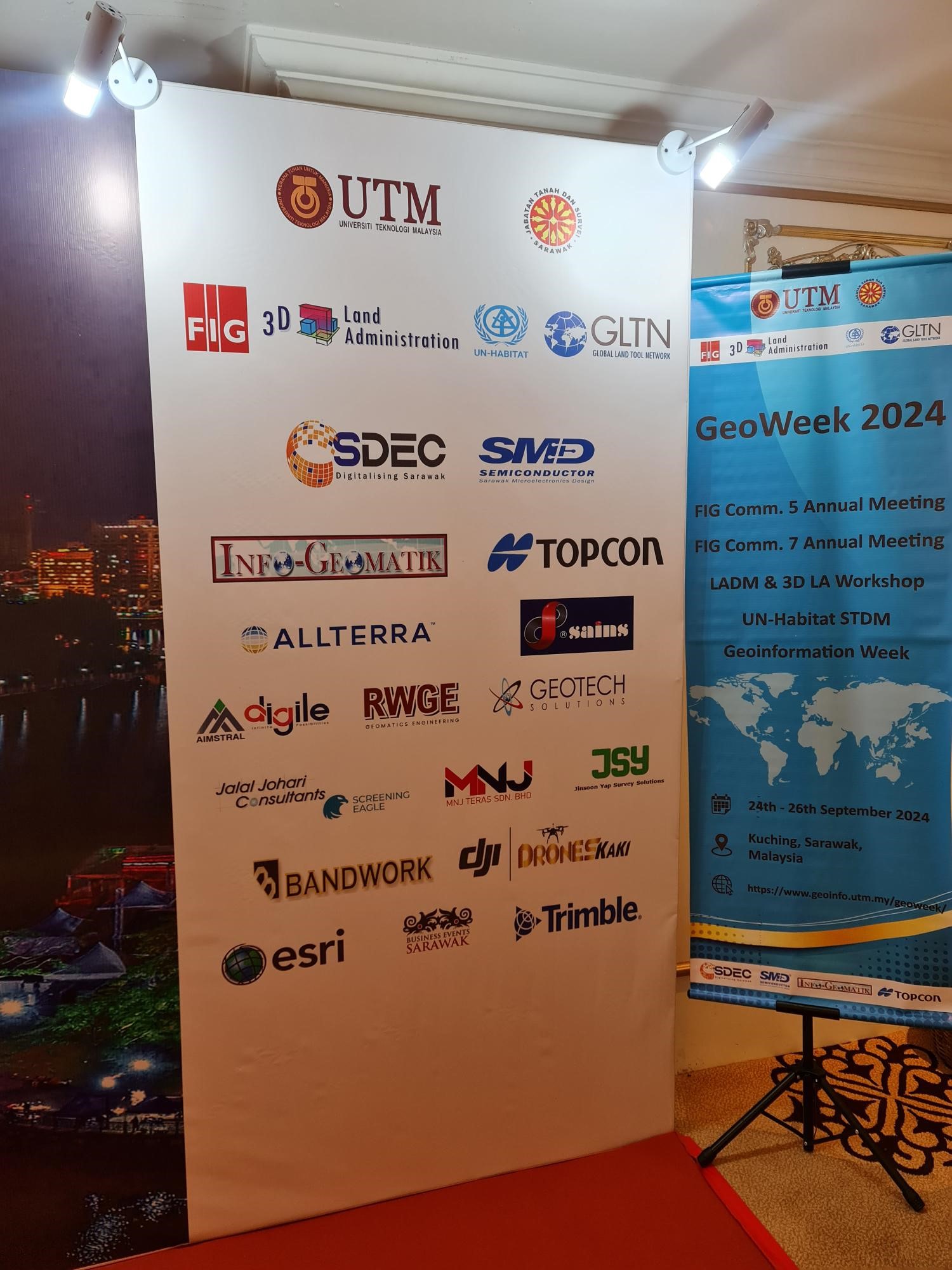
The conference was organized in collaboration with prestigious institutions such as Universiti Teknologi Malaysia (UTM), TU Delft, International Federation of Surveyors (FIG), UN-Habitat, and Global Land Tool Network (GLTN). The event featured prominent speakers, including Dr. Ryan Keenan, Prof. Dr. Rohan Bennett, and Prof. Dr. Peter van Oosterom, among others.
The Guest of Honour was the Sarawak Premier, and the conference concluded with a GALA dinner, providing attendees with an opportunity to network and celebrate shared progress in geospatial innovation.
Thank you to everyone who joined us to discover how Digile’s Twinsights platform and digital solutions can help visionary organizations navigate the future of geospatial innovation.
Stay connected with us on LinkedIn, Twitter, Facebook, Instagram, and YouTube for updates!